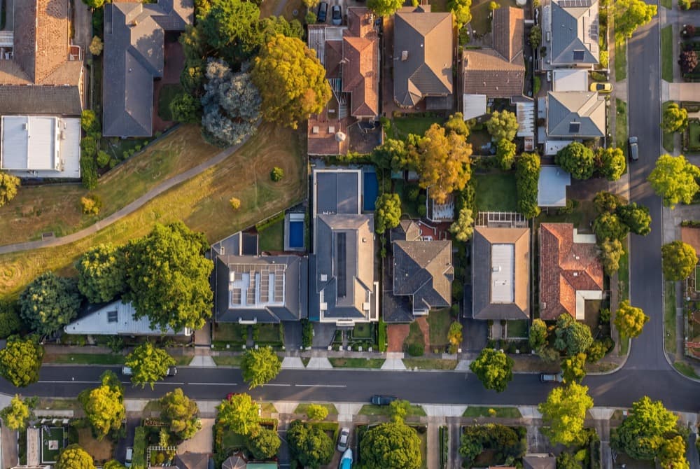
Real estate drone photography, without flying a drone.
Aerial angles of the property, generated from its real location and lot data. No pilot, no CASA paperwork, no waiting for weather. Golden hour on demand.
- Up to five aerial angles
- Golden hour and dusk looks on demand
- Built from the property's real lot data
$149 per listing
Frequently asked questions.
Do I need a drone licence to use this?
+−
No. Nothing is flown, so there is no CASA requirement, no pilot booking and no weather delay. That is the point of generating aerials rather than capturing them.
How much does a real estate drone shoot cost in Australia?
+−
Drone imagery is usually bundled into a premium photography package, which typically runs $700 to $1,200 in Australian capital cities. The Aerials module is $149 per listing, or $299 for the full suite.
Is the aerial the actual property?
+−
Yes. Generation starts from the real address, the real lot geometry and real satellite context, not a generic stock aerial.